

Measuring and Layout
Lasers and levels put reference lines, planes, and grades on the job. Laser levels dominate the class, with total stations, optical levels, squares, and chalk reels covering layout from rough to survey-grade.
Cómo funciona
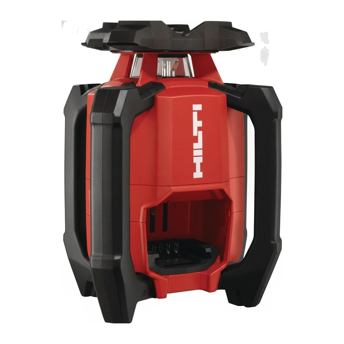
A laser level spins or fans a beam into a level (or graded) plane; detectors on rods read it at distance, replacing string lines and water levels. Total stations measure horizontal and vertical angles plus distance to a prism, placing points from coordinates. Chalk lines and squares remain the fastest tools inside a room.
Tipos y variantes
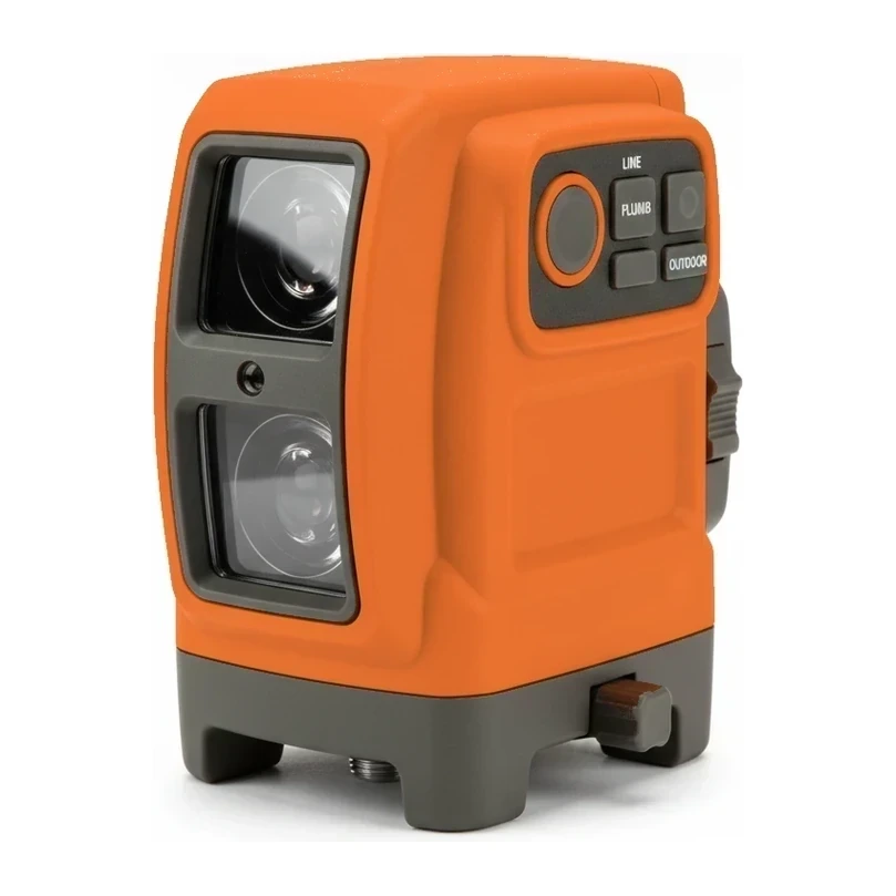
- Laser Level
- Self-leveling laser that projects reference lines and planes for layout.
- Bits, Saws & Accessories
- Cutting bits and accessories filed with layout and level tools.
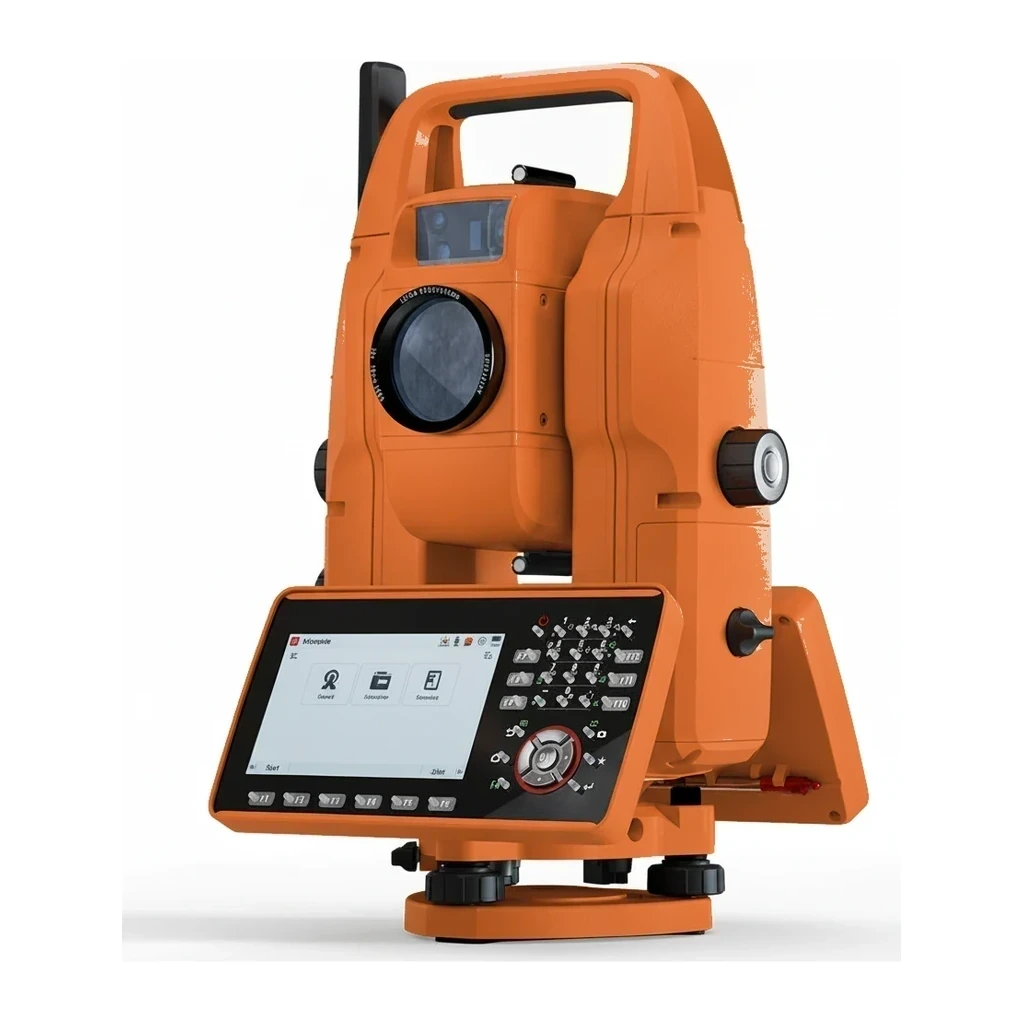
- Total Station
- Optical-electronic survey instrument that measures angles and distances for precise layout.
- Square
- Layout squares for marking and checking right angles.
- Chalk Reel
- String reel that snaps straight chalk lines for layout.
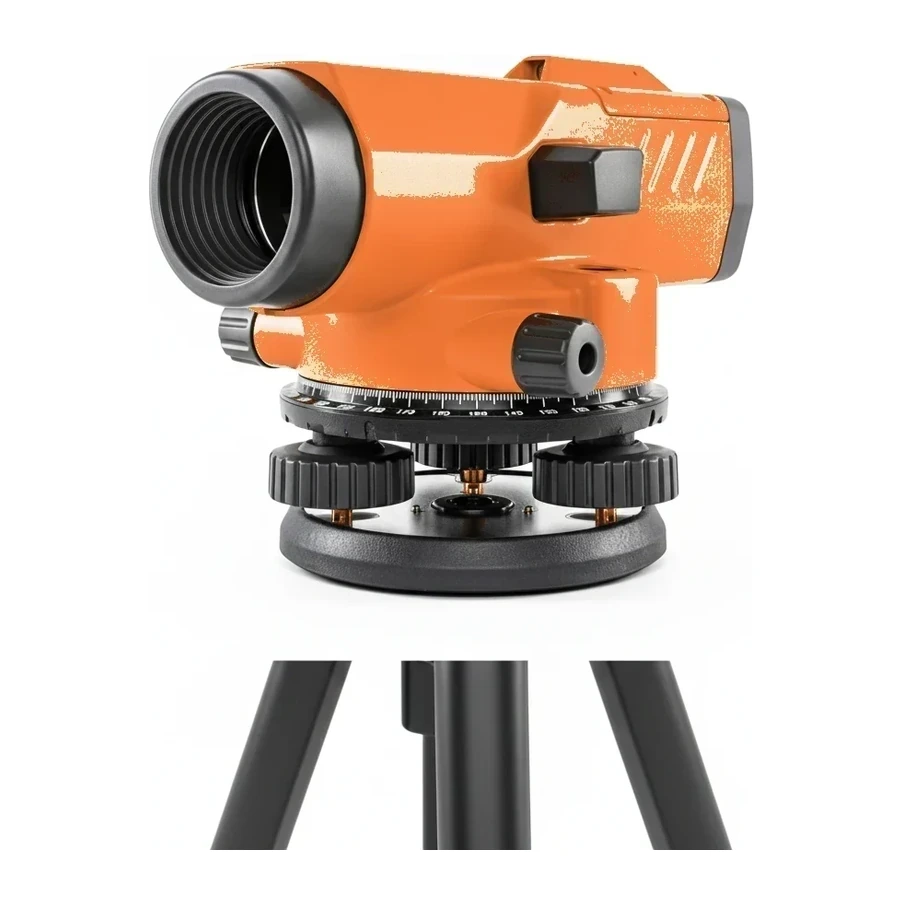
- Surveying Level
- Optical level used with a rod to transfer elevations on site.
- Lasers and Levels
- General layout instruments not yet assigned to a specific class.
Cómo elegir
Tolerance and range decide the instrument: interior finish work runs on line lasers; sitework grading on rotary lasers with machine or rod detectors; anchor-bolt and column layout on a total station. Self-leveling range, accuracy per 100 ft, and outdoor visibility (detector compatibility) are the specs that separate classes.
Normas y certificaciones
- OSHA · 29 CFR 1926.54
- Requirements for laser use in construction, including operator qualification and posting.